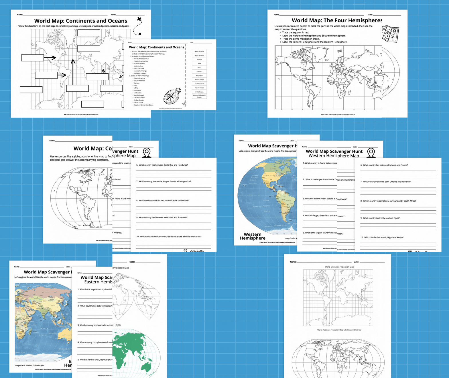
This free printable world map bundle is full of maps and activities to help kids explore our planet right from their desks! Find multiple projections, a cut-and-paste activity, a country scavenger hunt, and more. To get your free printable world maps and worksheets, just fill out the form on this page.
Printable World Maps and Worksheets
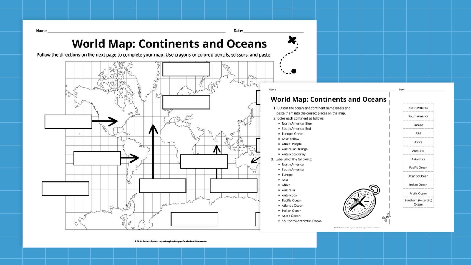
Simple Mercator Projection Printable World Map
This simple, uncluttered version of a Mercator projection map is perfect for learning about big features like continents and oceans. Use the accompanying worksheet for cut-and-paste labels, then color-code the continents. It’s the perfect starter world map for younger students.
Teacher Tip: If you don’t want to get out the scissors and glue sticks, just use the labels as a word bank. Students can write the names in their proper places on the map instead.
Mercator Projection With Country Outlines
This version of the Mercator projection map includes blank country outlines. The accompanying worksheet teaches kids about the location of equator, the prime meridian, and the four hemispheres.
Teacher Tip: The basic latitude/longitude grid on this map makes it ideal for playing Map Battleship. Each player secretly picks a spot on the map, then they take turns asking questions like “Is it in the Western Hemisphere?” or “Is it between the equator and 30 degrees south?” The first player to narrow down and guess their partner’s country is the winner!
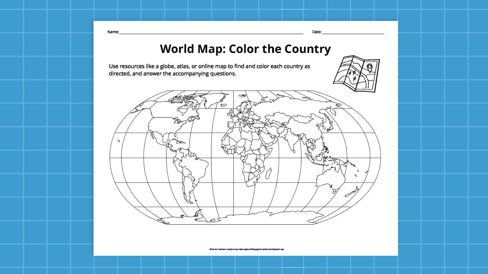
Robinson Projection Printable World Map (Blank)
Use this blank Robinson projection map with country outlines alongside our included “Color the Country” worksheet. Students will need to use outside resources like atlases or online maps to locate each of the 15 countries listed and color them as indicated. (Colored pencils recommended.) There’s also a question to answer about each country, helping students dig a little deeper into the geographical relationships between countries.
Teacher Tip: Have fast finishers in your class? Encourage them to identify and color in more countries on the map, creating their own key to the colors or patterns they use.
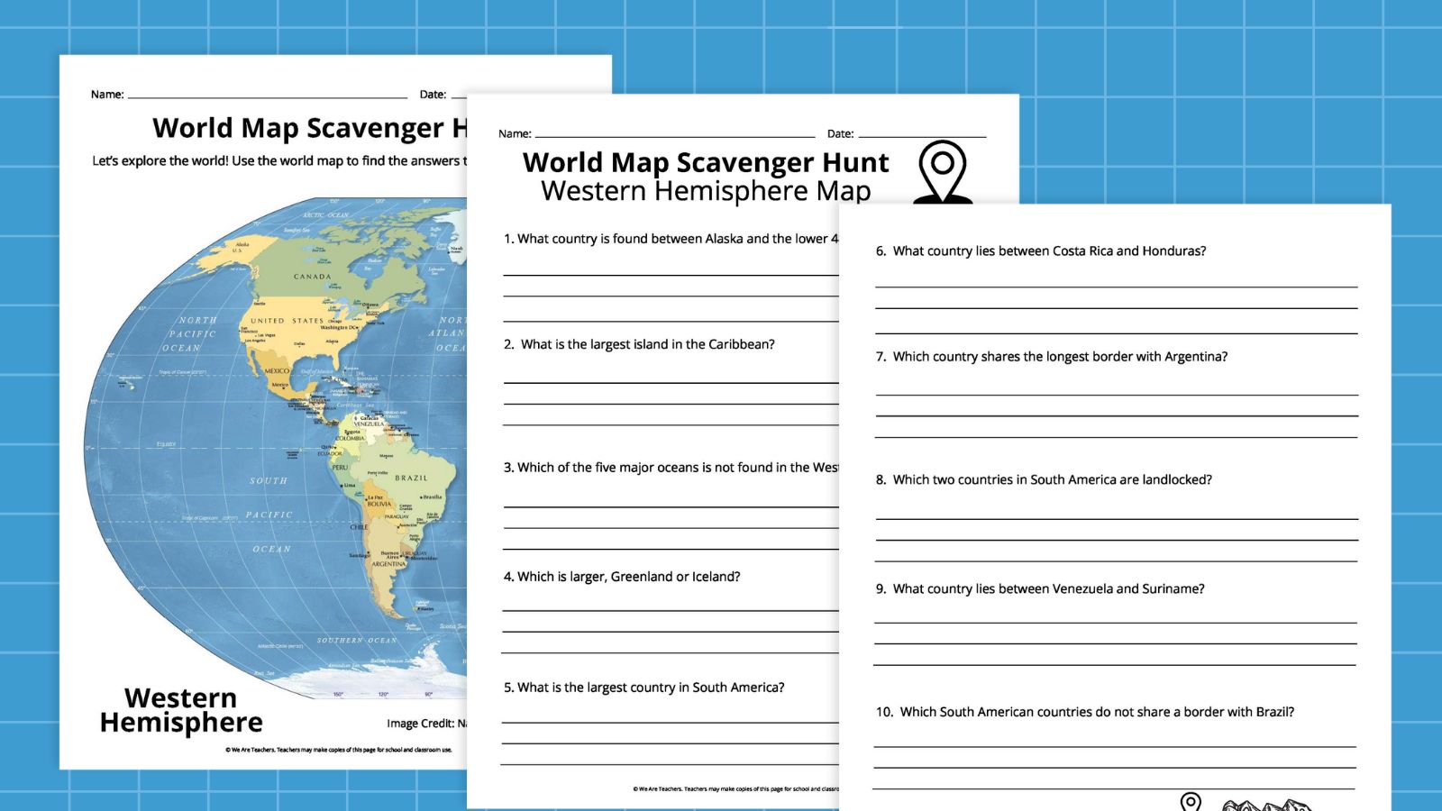
Robinson Projection (Political World Map)
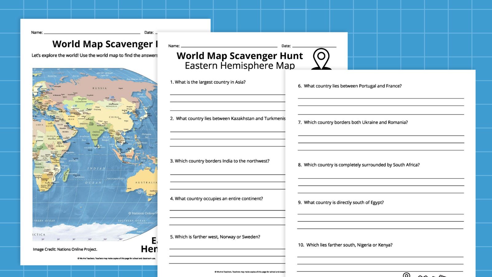
This labeled political world map is a terrific reference tool for students. To maximize the size, it prints on two pages: Eastern Hemisphere and Western Hemisphere. Each page has its own worksheet—a scavenger hunt! Students use the map to answer questions like “What’s the largest country in Asia?” and “What country lies between Costa Rica and Honduras?”
Teacher Tip: Want a complete map? Cut off the excess and tape the two maps together at the center where they join.
World Map Projections Graphic Organizer
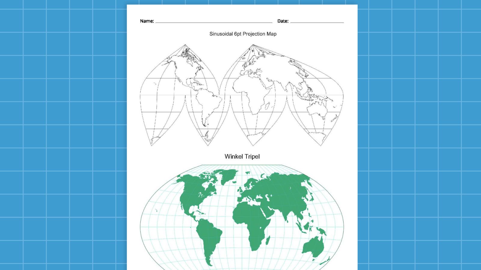
A round planet is very difficult to represent properly in 2D. Cartographers throughout the years have suggested a variety of different views, known as “projections,” to help translate a 3D globe to a piece of paper. This graphic organizer highlights four different common projects for students to compare and contrast: Mercator, Robinson, Winkel Tripel, and Interrupted.
Teacher Tip: If you’re teaching younger students or don’t want to get overly in-depth with projections, just use the first page of this organizer. It includes the Mercator and Robinson projections, which are the ones students will encounter most frequently.
More Ways To Use Printable World Maps
Plan a Trip
Let students plan a trip using their world maps and a travel website. They can find out how much transportation costs and see what their options are (Should they take a train or a plane? How many stopovers will they have?). Once they “get there,” they can choose a lodging, plan for things to do and places to eat, and more!
Be a Geography Detective
One student chooses a feature on the map: It could be a city, country, state, river, or any other location they choose. Other students take turns asking questions to find out where they are. For example: “Are you north of the equator?” It’s like 20 Questions for maps!
Make Connections to Current Events
When you’re reading or discussing news stories or other events, take time to locate them on the map. You can even create a bulletin board of a world map, where you can post printouts or clippings and connect them to their locations on the map with strings.
Map Out Climate Zones
Use reference sources to divide a map into climate zones, coloring each a different color. Then, look for pictures of various wildlife species that live in each zone (plants and animals), cut them out, and add them to your map.
Personalize the Map
Let each student personalize their own map and its connections to themselves and their family. They might color in countries where they’ve visited, or where relatives and ancestors were from. Students can even highlight countries and places they really want to visit someday, or those they find especially interesting.
Get your free printable world maps bundle right now by filling out the form on this page!